
Exergy Solutions provides GIS solution in the following Fields

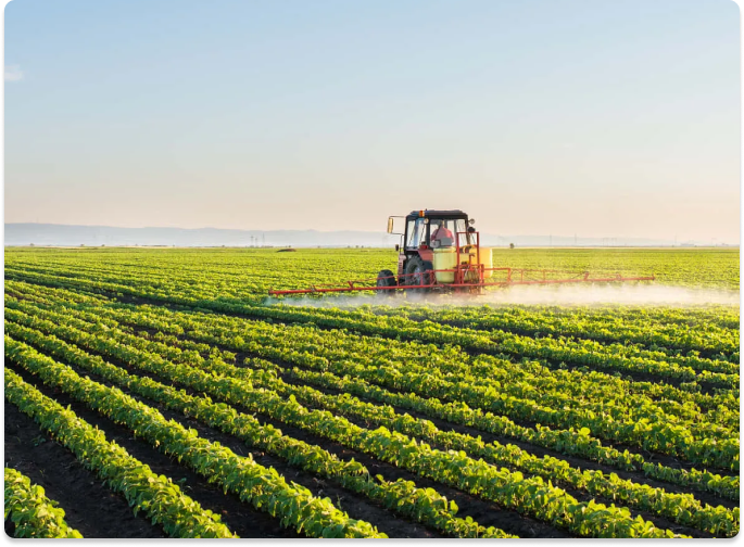
Agriculture:
-
Multi-temporal satellite image, acquired during the appropriate times of plant growth and harvest, combined with GPS aided field survey & market survey to create data on:-

-
- Crop Acreage
- Crop Performance
- Crop Yield
- Crop Production
- Location of Market
- General Trends followed by Farmer
-
Mapping and monitoring of Agriculture, Forest cover and Pastureland
-
Calculation of deviations of meteorological parameters from the perennial norms
-
Automatic processing of remote sensing data including atmospheric correction, cloud and shadow masking
-
Near-real-time monitoring of state and conditions of vegetation growth
-
APIs of paid satellite images can be added as per client’s desire
-
Analysis for each individual field possible
Change Detection and Analysis
01
Temporal Change Analysis
02
Temporal LULC Change
Analysis of Urban Slum
03
Investigation of spatial
and temporal dynamics
of the LULC

Engineering & Infrastructure
-
Creation of GIS database along the Proposed Rail/Road Alignment
-
2D Mapping using High Resolution Satellite Image
-
3D Mapping using -Aerial Stereo-pair and LiDAR Scans
-
Creation of L-Section along the preliminary alignment
-
Creation of As-Built map in the RoW of existing Rail/Road Infrastructure
-
Cut and Fill analysis along the proposed infrastructure
-
Topographical & geophysical surveys for construction of tunnels, bridges
Forestry
01
Pre-stratification of Forest for
Forest
Management
02
Estimate the Wood Stock of the
Forest
Resource
03
Forest Cover Mapping
Based on Types, Based on Density04
Tree Species
05
Upgrade the existing forest stock maps
and
create Forest Inventor
06
Digitization and GIS Database of
Forest
map creation
07
Calculate the Carbon Sequestration
values of the forest
08
RS and GIS based analyses for
Identification
of villages
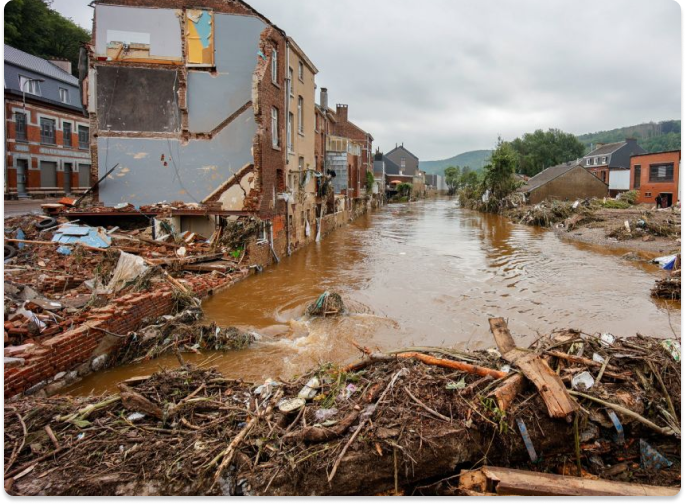
Flood Vulnerability and Hazard Zonation mapping
-
Flood inundation mapping and monitoring
-
Rapid and scientific based damage assessment
-
Monitoring and mapping of flood control works
-
Creation of GIS Layers & Mathematical Modeling for Assessment
-
Flood Hazard Zonation, Vulnerability and Risk Mapping
-
Identification of riverbank erosion
-
Identification of chronic flood areas
-
Inputs for flood forecasting and warning models regarding probabilities
Geological and Mineral Potential Mapping
Boundary Modification
of the Geological Map

Mapping of Different
Mineral Bearing Zones

Assessment of open cast
coal mines & mine dumps

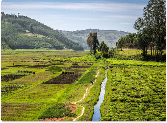
Land Management
-
Parcel Mapping/ Parcel wise latest Land-use Land-cover Map
-
Up gradation of Parcel Maps Using Latest Satellite Images
-
GIS database of Parcel, including the ownership record
-
Preparation of Land Capability Map using existing physical and natural parameters:
- Land use/Land cover
- Terrain Slope
- Soil Type
- Temperature Distribution
- Terrain Height
- Terrain Aspect
- Rainfall Amount